A Complete Guide to Biking in Ludington, Michigan
Ludington has long been a destination for cyclists who enjoy exploring the outdoors(opens in a new tab). The area boasts picturesque shoreline routes with sand-dune panoramas, scenic wooded trails and miles of idyllic rural country roads. With the rising popularity of year-round fat tire biking, gravel road riding and bike-packing, new adventures are opening up that are only limited by your imagination.
Fun Paths for Kids
The Cartier Park Pathway(goes to new website)(opens in a new tab) on Lincoln Lake in Ludington is an easily accessible, paved one-mile loop with minimal elevation. It is a great cycling destination for families with young children. Here, kids can also explore fun mountain bike trails built recently.

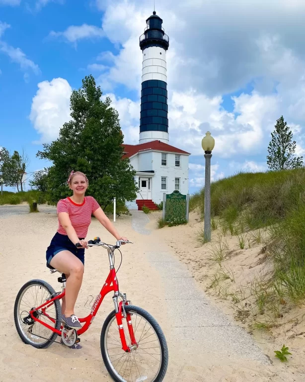
Families love to discover the many treasures of the Ludington State Park(opens in a new tab) by bike. There are paved paths and roads running throughout the park and along the Sable River between the Lake Michigan Beach area and the Hamlin Dam and beach area. There is also a 1.5-mile gravel road for the adventurous that will lead you to the Big Sable Lighthouse(opens in a new tab). [NOTE: This area is closed for construction until July 2025.]

Be sure not to miss a casual cruise through Stearns Park Beach (opens in a new tab)and the Ludington harbor during the arrival or departure of the S.S. Badger Carferry(opens in a new tab) in the morning or evening.
Scenic Road Route
A visit to Ludington is not complete without a cruise along M-116 to the Ludington State Park. It is one of the most scenic roads in the entire Midwest. On one side of the road are continuous sand dunes, and on the other side, Lake Michigan spans the horizon. Another shoreline route runs along South Lakeshore Drive to Bass Lake and Pentwater. A highlight of this route is crossing the bridge that spans the Ludington Pumped Storage Power Plant, a hydroelectric plant and reservoir built on Lake Michigan. For a more ambitious tour, chart a course on the way back through the orchards and rolling hills south of Ludington. Riders will be awestruck by the scale of the 56 wind turbines comprising Lakewinds Energy Park.

Four Season Mountain Biking
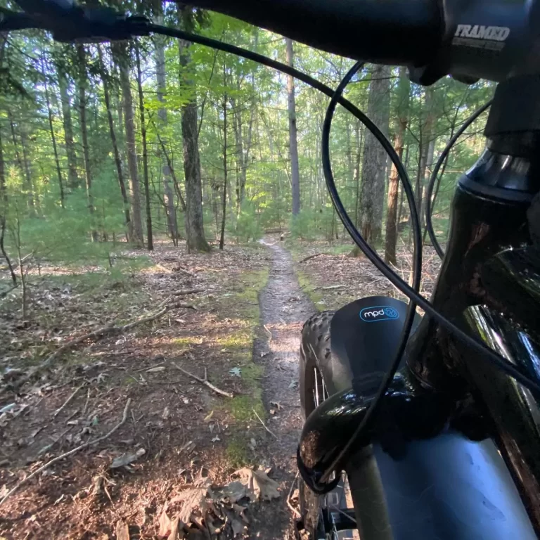
A recent addition to Ludington’s cycling scene is the development of an Urban Single Track trail system encompassing Cartier Park and the Ludington School Forest(goes to new website)(opens in a new tab). Both trail systems are located within the city limits less than two miles apart, and include a total of 10 miles of dedicated single-track for biking, with potential for additional trails linking the systems in the future. These trails were built as “Gateway Trails,” which are designed to create a fun, widely accessible introduction to mountain biking. The trails are intentionally not intimidating for new and novice riders, yet they are designed in a way that even the most experienced mountain biker will find them fun and enjoyable.
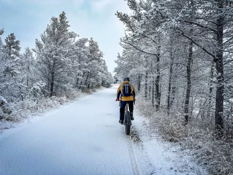
Fat-tire mountain bikes allow riders to float through conditions that would be impossible with a conventional tire. The trend toward wider tires creates a new and exhilarating way to take in Michigan’s winter wonderland. Several trail systems in the area are starting to groom trails for winter riding. Winter beach riding can also be a thrill. When the snow melts, fat bikes are just as fun on traditional trails.
North of Ludington, cyclists can enjoy one of the longest fat bike trails in the Lower Peninsula, also known as the Big M. This well-marked, loop trail system sweeps through canopied hardwoods of the Manistee National Forest, which connects with the North Country Trail system. The 38-mile loop trail system offers a variety of terrain for every cycling level, including 25 miles of singletrack mountain-biking open April to September, and an 18-mile track groomed for fat biking in winter.
For current information on local bicycling routes, maps(opens in a new tab), group rides and cycling related events, visit www.shorelinecyclingclub.org or stop in to Spindrift Cyclesports (opens in a new tab)or Trailhead Bike Shop(opens in a new tab). Both are located on Ludington Avenue in downtown Ludington for all of your biking needs and rentals.
Ludington is located at the crossroads of two popular bike routes—U.S. Bicycle Route 20, an east-west route of just over 300 miles spanning across Michigan, and U.S. Bicycle Route 35, a 500-mile route running north-south generally following the Lake Michigan shoreline.